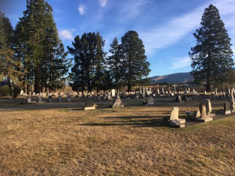
All cemeteries are landscaped and kept to a high standard. Requirements for new cemeteries and expansion of existing cemeteries are assessed periodically.
Cemetery details
Open to the public during daylight hours.
Sections
Burials, Ashes, RSA.
Cemetery Records
Cemetery records for Albury can be viewed here.
Location
Cemetery Road, Albury 7984
Open to the public during daylight hours.
Sections
Burials, Ashes
Cemetery Records
Cemetery records for Burkes Pass can be viewed here.
Location
Fairlie-Tekapo Road, Burkes Pass 7987
Open to the public during daylight hours.
Sections
Burials, Ashes, Childrens, RSA.
Cemetery Records
Cemetery records for Fairlie can be viewed here.
Location
Albury-Fairlie Road, Fairlie 7987
Open to the public during daylight hours.
Sections
Burials, Ashes
Cemetery Records
Cemetery records for Lake Tekapo can be viewed here.
Location
Hall Lane, Lake Tekapo
Open to the public during daylight hours.
Sections
Burials, Ashes
Cemetery Records
Cemetery records for Twizel can be viewed here.
Location
193 Glen Lyon Road, Twizel 7901
The Mackenzie District Cemeteries viewer is presented as a GIS map.
Fairlie Cemetery is shown as the default view.
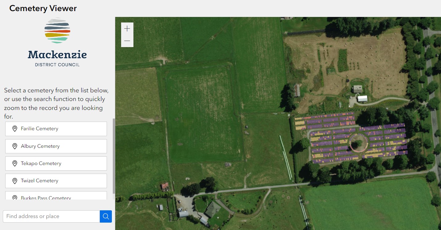
Viewing individual cemeteries
There are five cemeteries bookmarked: Albury, Burkes Pass, Fairlie, Lake Tekapo and Twizel.
To view a cemetery, click the menu link in at on the left hand side of the viewer.
Select a cemetery, and the map will redirect its focus to the selected cemetery.
Viewing cemetery records
Each plot record shown on the map can be selected, and a dialog will appear, showing the current status of the plot.
Records search
To look up a plot record, there is a search bar within the menu.
Type the name of the interred person, and a drop-down box appears, showing plot records matching the name given. Records are searchable by first, middle, and last names.
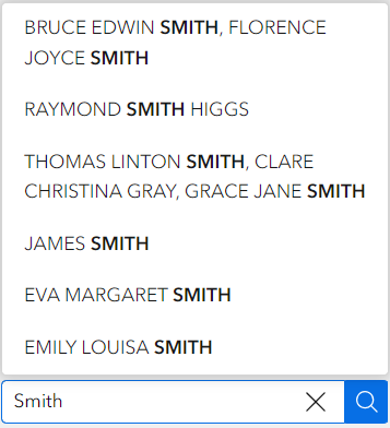
Select a plot record, and the map will zoom to the location where the plot is located.
Click the plot to view the plot record.
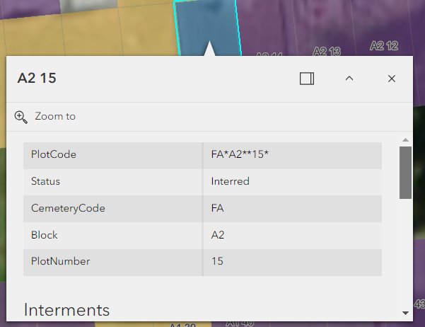
Plot records fields contain the following information. Most fields are filled in. Scroll down to see all plot fields, and interments for a particular plot.
|
|
|
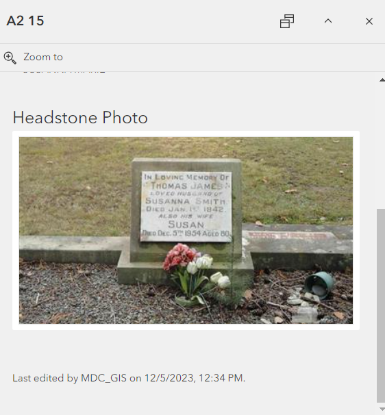
Headstone photographs
Council staff are updating plot records to include photographs of headstones where applicable. When added to a plot record the photograph appears at the bottom of the plot record listing. Scroll down the listing to view the photograph.
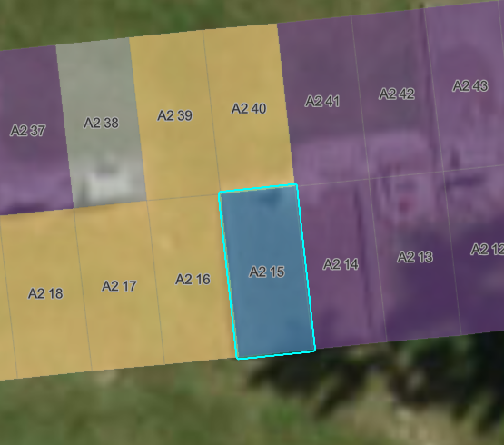
Plot availability
Plots are colour coded in the map viewer.
Colour codes are as follows.
| - | Available |
| - | Reserved |
| - | Interred |
| - | Unavailable |